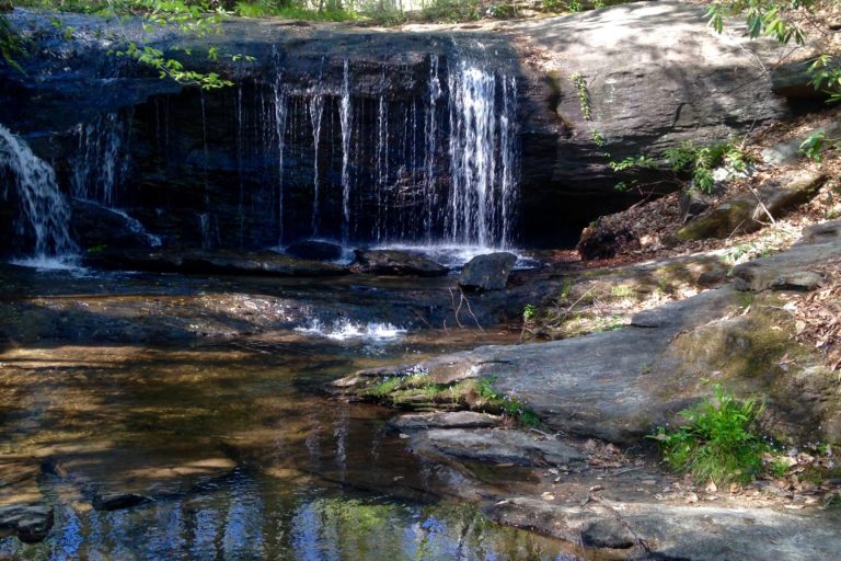
Today, if you want to take a quick rest on a car journey, you can pull off to a fast food restaurant or a stand-alone rest area alongside the interstate. Nothing is really fancy or memorable about these places. But that hasn’t always been the case.
Our modern-day rest stops are, by nature, utilitarian and spare. Just a place to stretch your legs, grab a snack, and keep on moving.
But what if a rest area was, by nature, more natural and expansive? What if it were more than spare, but a peek into local wonders just off the roadside, like these hills of northern Greenville County?
Well, if you happen to travel along U.S. Highway 276, just a mile or so south of the intersection with Scenic Highway 11, then you’ll find a remnant of a 1930s rest area that’s now a part of the state park system. It’s called Wildcat Wayside State Park, and it’s the kind of place a rest stop really should be.
At Wildcat Wayside, seemingly just a pull-off by the road, with space for no more than a dozen cars to park, you’ll be greeted by a waterfall tumbling out of the woods.
For many locals, the water pool you see from the road is the first swimming hole they remember as a child on hot summer days. For that alone, it’s a place of fond childhood memories for many.
And, yes, you can find vendors on-site selling Southern boiled peanuts and flavored shaved ice. But take a step into the canopy, and there will be unveiled little wonders of these hills, in a space set aside in a hard time.
You see, during the Great Depression, the U.S. National Park Service created six waysides in South Carolina; they were an experiment, really, for the public to have a reason to stop, picnic, hike — all in an era when there really were no restaurants or other amenities in this area.
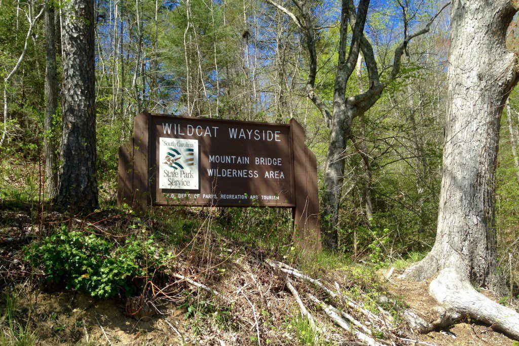
Until this time, there had been no real state parks to visit. And until the paving of U.S. Highway 276, this was a very remote area. The Civilian Conservation Corps (CCC), under supervision of the U.S. Army, was enlisted to build and modify these locations, largely to provide work opportunities for unemployed young men.
The 60 or so acres that make up Wildcat Wayside are a still-standing testament to this history and of the wonders of our foothills woodlands. This wayside was meant to demonstrate that small, preserved areas really could introduce the increasingly urban public to the natural wonders of the area.
As you continue along past two waterfalls at Wildcat Wayside, you follow the trail to a flat stone area with a lone chimney. A picnic shelter stood here, where travelers could eat a meal or rest by the fireplace. The shelter has long since been demolished, but even now you can see how well this structure was made, using local stone.
From this point, the trail really gets interesting. You come to a fork in the trail, as it’s about a 3/4-mile loop ahead, which circles the little valley of the Wildcat branch of the South Saluda River.
Taking the loop in a counterclockwise direction is a popular way to view the falls ahead. The trail is well worn, but the forest is dense. This means that for much of this hike, especially during the growing season, you’ll be able to hear the water running over the rocks below, but rarely see it. After storms, the sound of water rushing can create quite a roar.
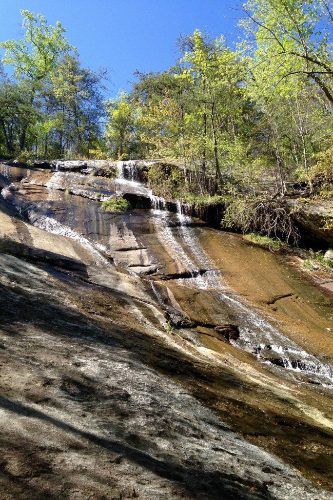
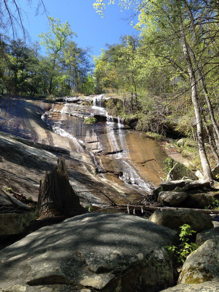
But there are two wonderful exceptions to rarely seeing the water on this trail. If you take the left fork of the trail, about a third of a mile up the hill, you will come across the Upper Wildcat Falls. The reveal of the falls is a bit sudden, but it’s a 100-foot-high wall of granite, looking straight up.
Please be very careful here. More than a handful of folks have been severely injured by getting too close and attempting to climb up these falls.
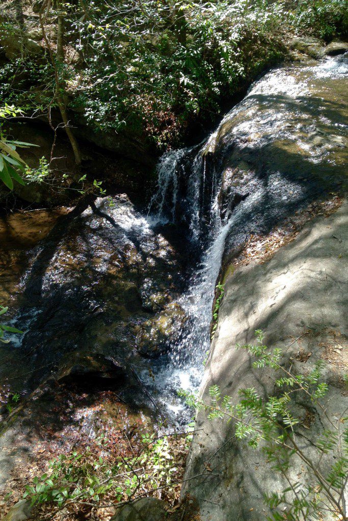
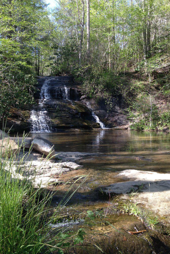
Continuing on the trail, just a few hundred yards ahead, is another waterfall at the saddle of the little valley, and it more closely resembles the two waterfalls at the entrance to the park. It’s a good place to sit, listen, rest for a moment, and observe the plant and animal life. There are some rarer plants in this little valley, and if you hike at different times of the year, you will see some interesting blooms.
From here, the trail widens, and it’s a downhill trek back to the park entrance. Someone in reasonable shape can hike the trail in half an hour or so, and it’s a good hike even for small children or some older folks, too.
In a sense, this is now a pocket state park — having all the elements of its much larger South Carolina cousins, but in a bite-sized portion. While its mission has changed a bit from its creation as a wayside rest area, its purpose really has not.
In many ways, a half hour here at Wildcat Wayside is more restful than hours spent at the rest areas we know today.
Notes
Writer: Jason Greer
Editor: Celeste Hawkins
Photography: Jason Greer
Sources:
- NationalRegister.SC.Gov
- “South Carolina State Parks” at StateLibrary.SC.gov
- “The Civilian Conservation Corps in South Carolina 1933-1942” at TeachingUSHistory.org

