Photos & Story by Dave McAda
First, a word of warning. Bridal Veil is a VERY popular name for a waterfall (almost like June is a popular month for brides) so note that this is the hike description for the Bridal Veil of DuPont State Recreation Forest in North Carolina. DuPont State Recreational Forest is comprised of more than 12,500 acres and has over 86 miles of trails of mixed uses (hiking, horseback, and mountain bikes). There is no admission fee and leashed pets are welcome on trails.

My wife and I, and our Chihuahua dog Annie, first did this waterfall in September 2020. It was described somewhere as an easy hike, which appealed to us given that we are out of shape and getting older every day. The path we chose was described as an easy 1.88 miles one-way that would take 35 minutes. That should have been a red flag because I can’t walk 1.88 miles on the flat Prisma Health Swamp Rabbit Trail in 35 minutes!
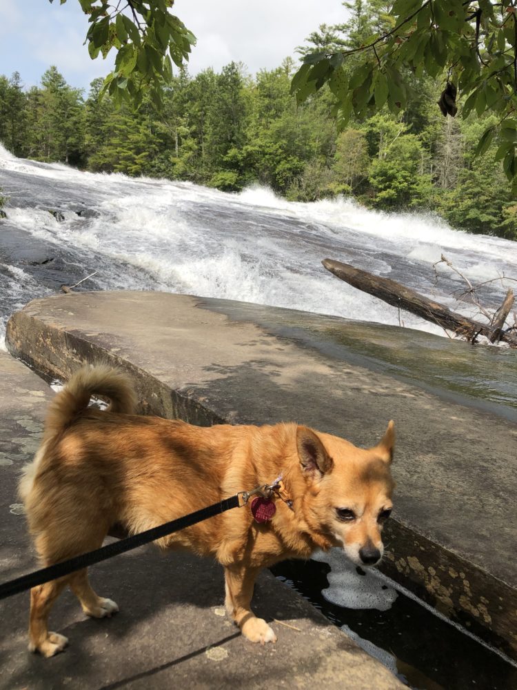
Today, using Google Maps, I think we may have missed a key turn somewhere on the trail we took, which is concerning since I took Orienteering in college 35+ years ago. Nevertheless, we made it to the base of the waterfall and had a wonderful picnic and a nap on a huge boulder. When we headed back to the parking area, Annie made it about two hundred yards before she went on strike. We took turns packing out an additional 15 lbs. Remember, pack out what you pack in, leave no trace, and actually leave it better than you found it!
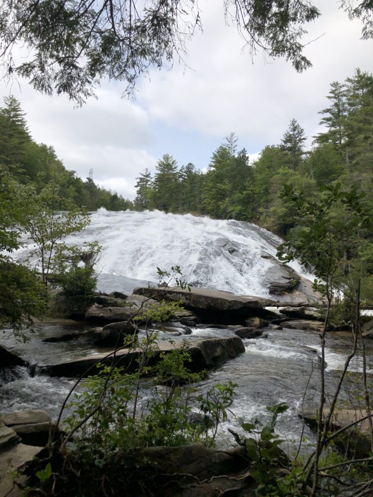
So why have you bothered hiking all this distance? Bridal Veil Falls has a short, overhanging free fall, then a long slide culminating in a short free fall. The total drop is 100-120 feet. For movie buffs, this waterfall had cameo appearances in The Last of the Mohicans and The Hunger Games. Despite movie stars being able to run beside it effortlessly, the slippery rocks can be extremely dangerous so don’t become an emergency statistic.
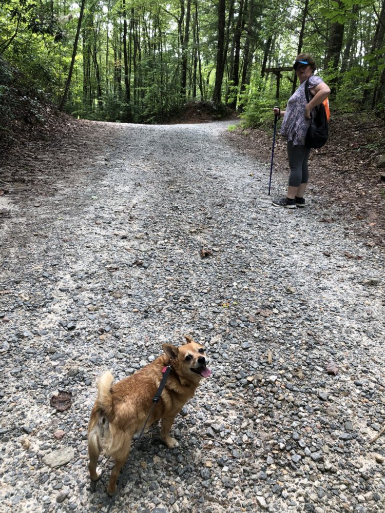
There are now two major accepted trails to reach the waterfall today. One is deemed easy, but close to 2.4 miles one-way, while the other is easy to moderate, but shorter at about 1.9 miles. Either trail is wide and mostly gravel. In fact, we found some of the large gravel to be tough on our ankles.
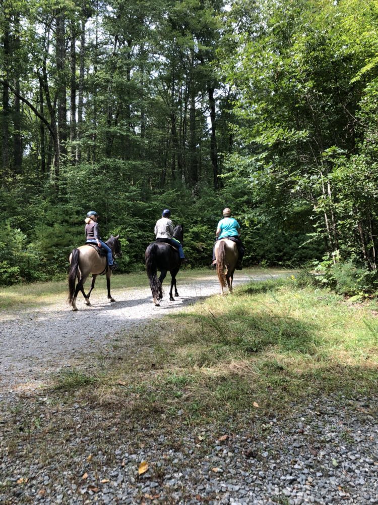
It pays to do a little research before going. Sometimes trails are closed due to rain or trail maintenance. Game cameras in the forest have revealed snakes (poisonous) and black bears, among other wildlife – so be alert. At various times there can be heavy equestrian traffic so be prepared to dodge a few horse apples too!
For the shorter trail (which we took):
Starting in Travelers Rest, it’s about 28 miles to DuPont State Forest.
Take Hwy 276 west through Marietta past Caesars Head. (Stop at Marci Jo’s Olde Mountain Store at the intersection of Hwy 276 and Hwy 11 for lunch, great desserts and a little shopping! You can find some of my photography for sale there.)
Head across the state line into North Carolina. In Cedar Mountain, turn right on Cascade Lake Road and then almost an immediate right on Reasonover Road.
Travel about 3.3 miles, enjoying the many metal art installations at private driveways, and arrive at the Fawn Lake Access Area parking lot on your left. A portable toilet is available here.
Take the Fawn Lake Rd trail to your right until it joins Conservation Rd. trail. Take Conservation Rd. until you come to a split where you can continue right on Shortcut Trail which passes on the right side of an old runway. (Despite what your Daddy may have told you, this shortcut is worth taking.)
If you miss that trail and continue on Conservation Rd. you will eventually cross the runway to pick up the trail again. Shortcut Rd. rejoins Conservation Rd. There will be a drop in elevation as the road continues, so relish the thought of coming back up on your way out.
Your next turn will be left onto Bridal Veil Falls Rd.
You will pass by an old equestrian complex and eventually make your way to the base of the waterfall.
Enjoy the cool mist; you’ve earned it.
For the easier, but longer, trail:
Follow above directions, but when you reach Cedar Mountain, turn right on Cascade Lake Road and go 2.5 miles before taking a right on Staton Road.
In 1.4 miles turn right onto Buck Forest Rd at DuPont’s High Falls Visitor Center. Restrooms are available here.
From the parking lot, follow Buck Forest Road beyond the gate about 0.5 miles to the covered bridge (take a peek to your left to see the brink of High Falls).
In another 100 yards, turn right on Conservation Road, following it for 1.2 miles.
Turn right on Bridal Veil Rd and go less than half a mile where you will see a wide path that continues to the base of the falls.
_________________________
Looking for other hiking ideas?


")